Image by Doane (Yu Tung)
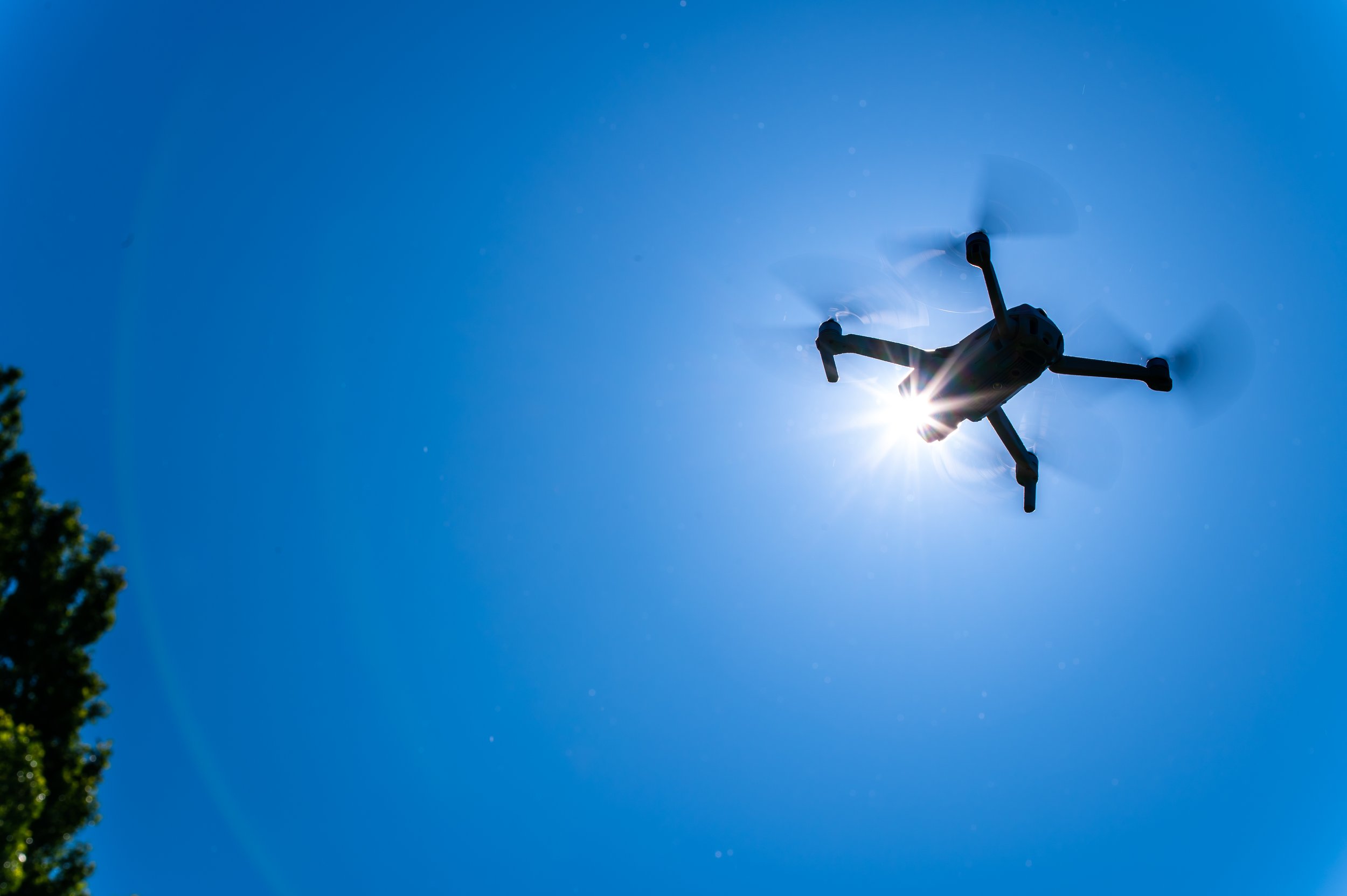
In the digital age, technology continues to revolutionize various industries, and the field of heritage preservation is no exception. Drones, with their ability to capture high-resolution aerial imagery and navigate complex spaces, have emerged as powerful tools for documenting and surveying historic buildings. Drone surveys have had a transformative role in preserving our architectural heritage and creating comprehensive records for future generations.
Uncovering Hidden Perspectives:
Historic buildings often have intricate details and unique architectural elements that can be challenging to capture from the ground. Drones provide a fresh perspective by offering an elevated vantage point, revealing hidden details, and capturing the grandeur of the structures. From soaring cathedral spires to ornate facades and weathered rooftops, drones enable heritage professionals to document these features in high resolution, creating a comprehensive visual record.
Efficiency and Accuracy:
Traditional methods of surveying historic buildings involve time-consuming and potentially risky tasks such as erecting scaffolding or using telescopic equipment. Drone surveys offer a significant advantage by providing efficient and accurate data collection. Equipped with high-resolution cameras and advanced imaging technologies, drones can rapidly capture detailed imagery of buildings, reducing surveying time and costs while maintaining a high level of precision.
Preservation Planning and Maintenance:
Maintaining historic structures requires meticulous planning and regular maintenance. Drone surveys offer valuable insights for preservation planning by detecting structural issues, weathering, and signs of deterioration that may not be immediately apparent from the ground. By identifying areas that require attention, heritage professionals can prioritize restoration efforts and undertake preventive measures to prolong the lifespan of these iconic buildings.
Documentation and Archiving:
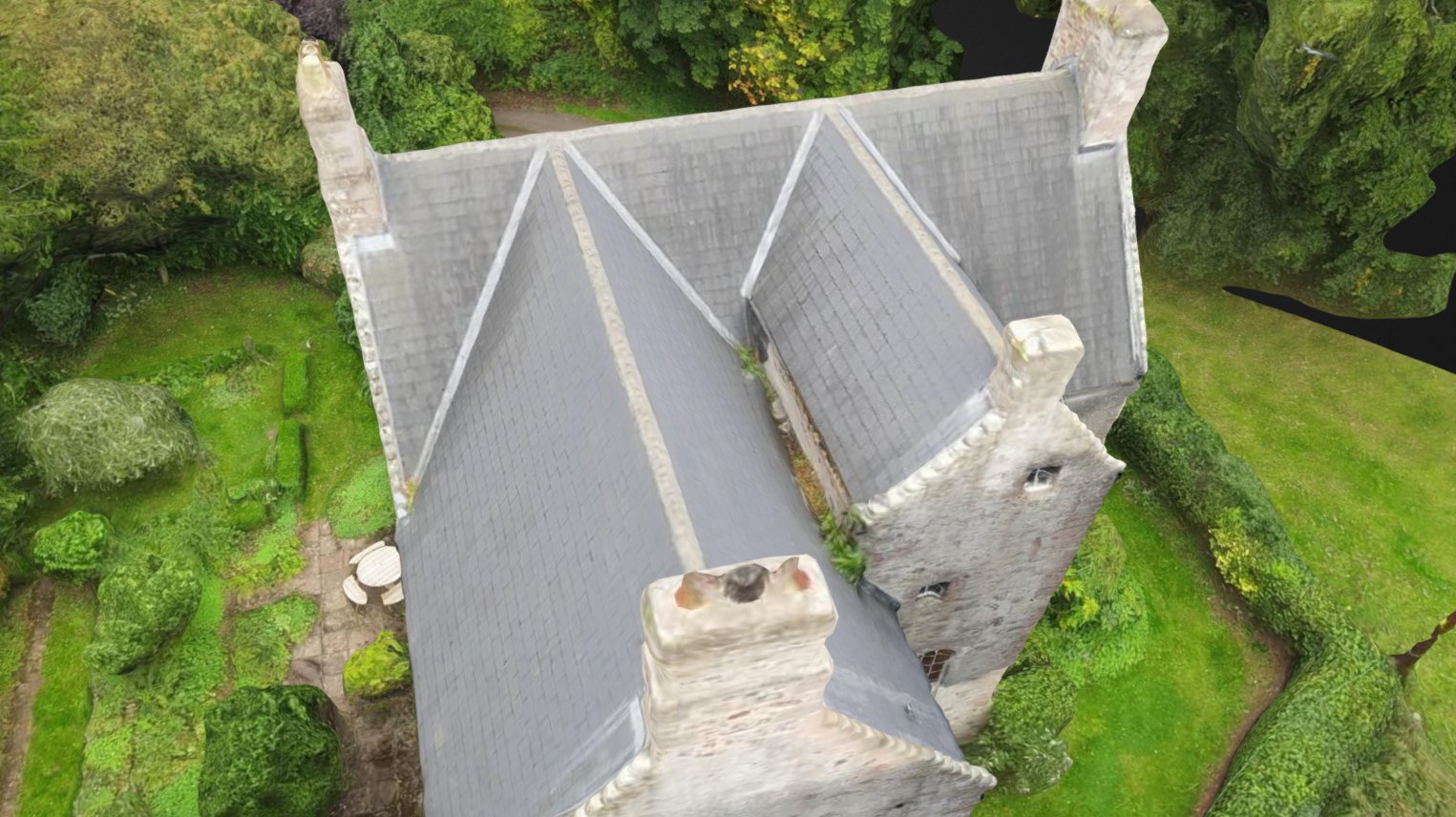
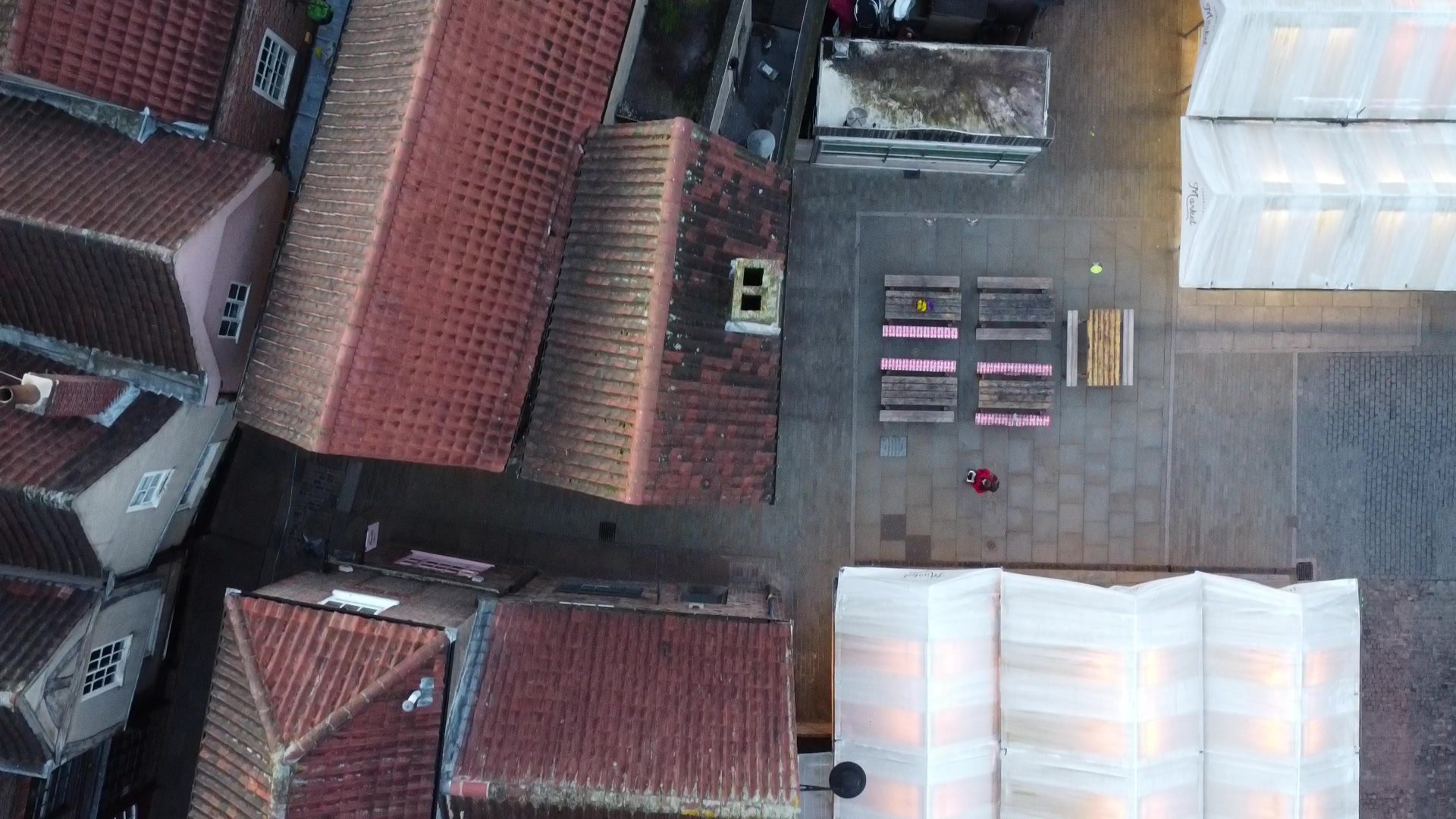
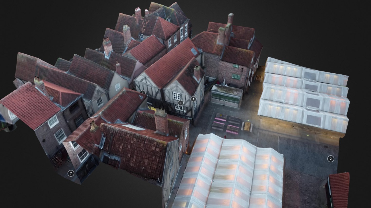
Preserving the architectural heritage goes beyond physical restoration; it also involves creating detailed records for historical reference. Drones contribute to this endeavor by generating accurate 3D models and orthomosaic maps of historic buildings. These digital records capture the structure's current state and can serve as a benchmark for future comparisons. Additionally, these digital archives can be shared with researchers, historians, and architectural enthusiasts worldwide, ensuring widespread access to valuable historical data.
Risk Mitigation:
Historic buildings are susceptible to various risks, including natural disasters, fires, and structural instability. Drone surveys enable experts to assess potential risks without compromising safety. By conducting regular inspections from the air, drones can quickly identify vulnerabilities, such as damaged roofs or weakened foundations. This information empowers stakeholders to take proactive measures to mitigate risks and safeguard these architectural treasures.
Public Engagement and Education:
Drones not only aid professionals in their preservation efforts but also facilitate public engagement and education. Aerial footage and interactive 3D models created from drone surveys can be used to create virtual tours, multimedia exhibits, and educational materials. These immersive experiences allow individuals to explore historical buildings remotely, fostering a deeper appreciation for architectural heritage and encouraging support for its preservation.
The use of drones in historic building surveys has revolutionized the way we document, preserve, and appreciate our architectural heritage. By providing unique perspectives, improving efficiency, and facilitating comprehensive documentation, drones have become invaluable tools in the hands of heritage professionals. As we continue to embrace technology's potential, drones will play an increasingly crucial role in safeguarding our past for generations to come. Through their contributions, these aerial ambassadors ensure that the stories and beauty of historic buildings endure long into the future.
If you are interested in getting an aerial survey completed for documenting, risk mitigation, public engagement or otherwise, please get in touch with us today!
This article was written with the help of ChatGPT.


